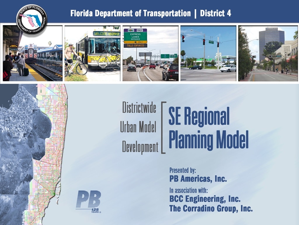
BCC was tasked with the development of a 2010 based Southeast Florida Regional Planning Model (SERPM) to cover the Miami Urbanized Area, which spans from Florida City in Miami-Dade County to Tequesta in Palm Beach County and bounded by the Everglades to the west and the Atlantic Ocean to the east. The model also includes the Palm Beach urbanized area in the vicinity of Lake Okeechobee.
In the Southeast Regional Planning Model (SERPM) 7 Activity Based Model (ABM) Development, the BCC Planning Department was responsible for:
- The development and refinement of model Traffic Analysis Zone (TAZ) structure
- Incorporation and conflation of Navteq (HERE) network into the SERPM7 network
- Processing and consolidation of base year traffic count database into the SERPM7 for model validation purposes, and
- Internal Quality Assurance/Quality Control (QA/QC).
BCC helped the Florida Department of Transportation, Districts 4 & 6 to develop a Southeast Florida Regional Planning Model (SERPM) to cover the Miami Urbanized Area.
Services Provided:
Planning
Client:
Florida Department of Transportation, Districts 4 and 6
Location:
Miami-Dade, Broward, and Palm Beach Counties, Florida