

BCC was tasked with developing a Geographic Information Systems based transportation modeling network to model freight and passenger movements throughout the state and evaluate the impact of improvement scenarios as part of the Florida Statewide Plan. Work consisted of data compilation and development, development of a highway network and traffic analysis zones, TTMS counts analysis, socio-economic review, documentation, and presentation. Socio-economic data from Metropolitan Planning Organizations and cities around the State of Florida were combined to create a model capable of representing any model year.
BCC was responsible for incorporating Strategic Intermodal System (SIS), Long Range Transportation Plan (LRTP), and Transportation Improvement Program (TIP) network updates into the highway network. Our efforts also included evaluating and combining National Household Travel Survey data and socio-economic updates, as well as validation of SIS corridors. We were responsible for client staff training, project coordination, application development, and validation.
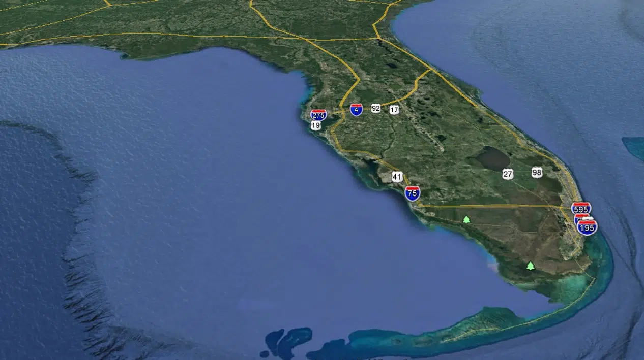
BCC assisted FDOT Central Office in developing the Florida Statewide Model (FLSWM). The FSWM uses a 6,242-zone structure and consists of a transportation network that includes MPO model network links and major rural roadways. The FSWM was validated for both passenger and freight modeling at corridor, district, and regional levels.
Services Provided:
Planning
Client:
Florida Department of Transportation, Central Office
Location:
Tallahassee, Florida